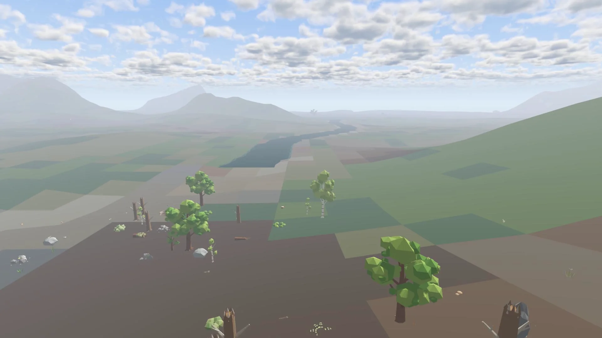
The world is a round island with a rocky coastline, inlets and islets, set in a square of 3072 by 3072 metres. Explore the map on the world page.
The six regions
| Region | Landscape | Trees | Resources |
|---|---|---|---|
| Greyridge | Eastern mountain range with mountain lakes | Spruce, cedar | Copper, iron, the only silver and gold |
| North Cliff | Cliff coast | Birch, spruce | Good stone, tin, some iron |
| West Field | Open farmland, kettle lakes, Mill Brook | Oak, wild apple | Fertile soil |
| Fenlands | Low, wet land | Alder, birch, willow | Flax, clay, some tin |
| The Creek | River mouth and the valley of the Grey River | Alder, willow | Clay, fish |
| The Dunes | Southern belt of dunes with a harbour inlet | Pine, poplar | Sand, shells |
When you cross a region border, "Entering …" appears on screen.
Water
- Rivers: Grey River, High Beck, Mill Brook, Fir Water, Wolf Beck and Cliff Beck. The rivers were recently deepened, with matching beds and banks.
- Lakes: High Tarn, Cold Tarn, Fir Mere, Kettle Mere and the Salt Pan.
Ridges
Greyridge and its foothills, North Cliff, Scar Ridge, Low Scar, Wolf Fells and Fen Tor.
The heart of the island
At its centre lies a swamp of roughly 450 by 420 metres. Read The swamp.
Spawning
You start on a random strip of sand at the edge of the ocean. Beaches inside an active claim are skipped.